
How AI Made Roadway Condition Assessment Faster and More Actionable: A Complete Case Study
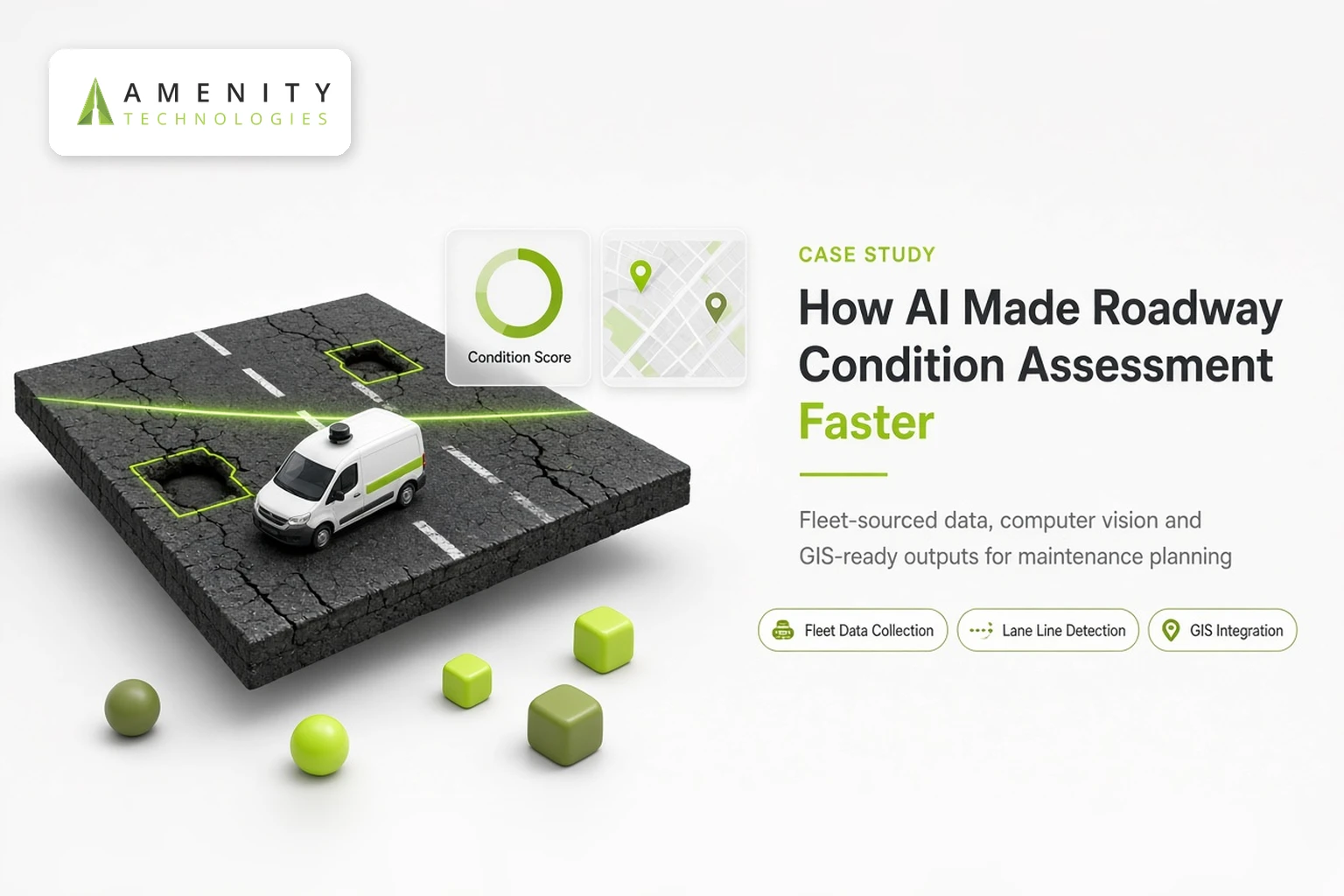
Amenity Technologies developed an AI-powered roadway infrastructure assessment system designed to give transportation agencies accurate, low-cost, and easy-to-use data on pavement and lane line conditions. This AI automation case study covers what the AI roadway assessment system does, how it’s built, and where it fits into the broader priorities transportation agencies are already working toward.
The Core Infrastructure Challenges We Address
Traditional road infrastructure inspection is a data problem before it’s anything else, often producing static reports that become outdated before teams can turn them into actionable maintenance projects. Agencies need to know where a network is deteriorating, how urgently, and with enough consistency to compare one stretch of road against another. The system Amenity built addresses this directly:
- It enhances maintenance planning and prioritization while reducing cost.
- It lowers the cost and simplifies the complexity of data collection itself.
- It streamlines workflows and cuts the time spent on data analysis and decision-making.
- It delivers data that is current, actionable, accurate, consistent, and comprehensive.
Implementing an automated road condition assessment workflow ensures network data stays current without creating continuous administrative overhead, giving agencies data they can build a maintenance plan around with confidence. That combination of lower cost, faster turnaround, and data an agency can act on directly is what distinguishes this as AI pavement condition assessment rather than a simple digitization of existing survey methods.
Inside the AI-Powered Inspection Process
Continuous Data Collection Using Existing Fleets
The system is built around fleet-sourced data collection systems, drawing on data gathered from vehicles already operating on the network rather than requiring a dedicated survey program. By adopting an AI-based road inspection model, this foundational tech stack processes incoming visual streams into structured condition evaluations automatically.
Sourcing data this way keeps ongoing collection costs down, since the network is being observed continuously through normal operations rather than through periodic, dedicated survey runs.
Automated Detection of Road and Lane Line Wear
The core analysis layer is built in Python, using OpenCV for image processing and deep learning models to assess pavement and lane line conditions. This is the AI-based analysis at the center of the system, the layer that takes raw, fleet-collected data and turns it into structured condition information.
OpenCV handles the image processing work that prepares raw visual data for analysis, while the deep learning models are the component responsible for actually classifying and scoring what the system detects.
Together, this is what computer vision for roadway analysis looks like in practice: not a single algorithm, but a processing pipeline where each stage feeds a cleaner, more structured version of the data into the next.
Seamless Integration with GIS and Asset Tools
The system is responsive and adaptive to new scenarios and emergencies, and it produces exportable datasets built for use with asset management systems and GIS tools.
Outputs are also designed to work with interactive mapping tools, so the results integrate into the planning and visualization systems agencies already rely on rather than existing as a standalone report.
This is a meaningful part of what makes the system function as genuine GIS automation for transportation, the AI analysis isn’t the end point, it’s a step that feeds directly into the mapping and asset management workflows a planning team already uses.
Designed for Real-World Planning Cycles
rating an AI roadway assessment system offers quarterly or annual network reviews, giving agencies the flexibility to align continuous data updates with their standard planning schedules. Beyond routine assessments, it also supports customized, deep-dive analytics and dedicated roadway studies for agencies working through a more specific planning question.
Because the system is adaptive to new scenarios and emergencies, it isn’t limited strictly to a scheduled cadence. Assessment can extend to situations that fall outside routine planning cycles as well. That flexibility matters for agencies balancing routine maintenance obligations against unpredictable events, since a rigid, fixed-interval system would leave gaps exactly when up-to-date data is most needed.
The system is also built to provide business-sense and economic insight into transportation plans, spanning maintenance decisions through to longer-range strategic planning. That range matters: the same underlying data can inform a near-term repair schedule and a multi-year infrastructure strategy, without requiring separate assessment processes for each planning horizon.
Advancing National Roadway Safety Standards
The system is designed to support USDOT’s Road to Zero and Every Day Counts initiatives, along with ROUTES safety goals, and it’s positioned to support autonomous vehicle planning and deployment as well.
(For context: Road to Zero is a national coalition, led by the National Safety Council in partnership with USDOT agencies, working toward eliminating roadway deaths in the United States by 2050. Every Day Counts is a Federal Highway Administration initiative focused on accelerating the deployment of proven transportation innovations across state and local agencies.)
Consistent, structured roadway condition data, the kind this system is built to produce, is directly relevant to both: safety improvements and faster technology adoption both depend on agencies having a clear, current picture of the infrastructure they’re working with.
The same logic extends to autonomous vehicle planning, since automated driving systems rely on accurate lane line data to navigate safely, making the condition of that data a direct input into how ready a given road is for autonomous deployment.
The Engine Driving Precision Assessments
Modern roadway inspection technology relies on a unified stack, combining AI algorithms, data analytics, GIS software, deep learning, and fleet-sourced collection systems to deliver network-wide clarity. Each component maps to a specific stage of the pipeline: data comes in through the fleet-sourced collection layer, gets processed and classified through the AI and deep learning models, and gets delivered through GIS-compatible, exportable outputs.
This layered structure is deliberate. Data analytics sits between raw AI output and the final GIS-ready dataset, aggregating individual detections into the kind of network-level view a planning team actually works from, rather than leaving them as isolated data points tied to a single stretch of road.
The Impact on Infrastructure Management
Amenity positions this system as a competitive differentiator, built on cutting-edge AI-based analysis rather than the manual survey methods many agencies still rely on. The value isn’t only in the technology itself; it’s in what the technology is built to produce: accurate, consistent, comprehensive data that supports strategic decisions and planning, delivered in a form that plugs directly into the tools agencies already use.
Positioned this way, the system isn’t a replacement for the planning judgment agencies already exercise. It’s a way of making sure that judgment is backed by data that’s current, consistent across the network, and available on a schedule that matches how agencies actually plan, whether that’s a routine quarterly cycle or a deep-dive study triggered by a specific question.
Consider Something Similar for Your Infrastructure
If your team is working with roadway condition data that’s slow to collect, inconsistent across assessments, or difficult to bring into your existing GIS and asset management tools, this is the exact gap the system was built to close.
Amenity Technologies has built this AI infrastructure automation around fleet-sourced data collection, computer vision, deep learning, and GIS integration, with the goal of working alongside data agencies that are already generating rather than requiring a new collection process from scratch.
If that’s relevant to a network you manage, it’s worth a conversation about what’s achievable with the data you already have, and how quickly it could be turned into something a planning team can act on directly.
FAQs
Q.1. Does this system require a dedicated survey fleet or new hardware?
A: No. It’s built around fleet-sourced data collection systems, meaning it draws on data from vehicles already operating on the network rather than requiring specialized new equipment.
Q.2. How often can assessments run?
A: The system offers quarterly or annual assessments of roadway networks, and it’s also adaptive to new scenarios and emergencies outside a scheduled cycle.
Q.3. How does this connect to broader transportation safety initiatives?
A: The system is designed to support USDOT’s Road to Zero and Every Day Counts initiatives, along with ROUTES safety goals, and it’s positioned to support autonomous vehicle planning and deployment.